Gulf Coast Center of Excellence · Research
Leveraging Satellite Imagery for Industrial Energy Efficiency
Pairing publicly available satellite data with artificial intelligence to reveal industrial energy opportunities, quantify risks, and unlock savings at scale.
Researcher
Satellite Imagery for Industrial Energy Efficiency
Research Conducted by: Caleb McDougal
Publicly available satellite data, paired with artificial intelligence, can reveal industrial energy opportunities, quantify risks, and unlock savings at scale. Our research is advancing along four fronts: onsite generation for mining and minerals, wastewater treatment efficiency, solar PV and grid stability, and thermal pre-assessment.
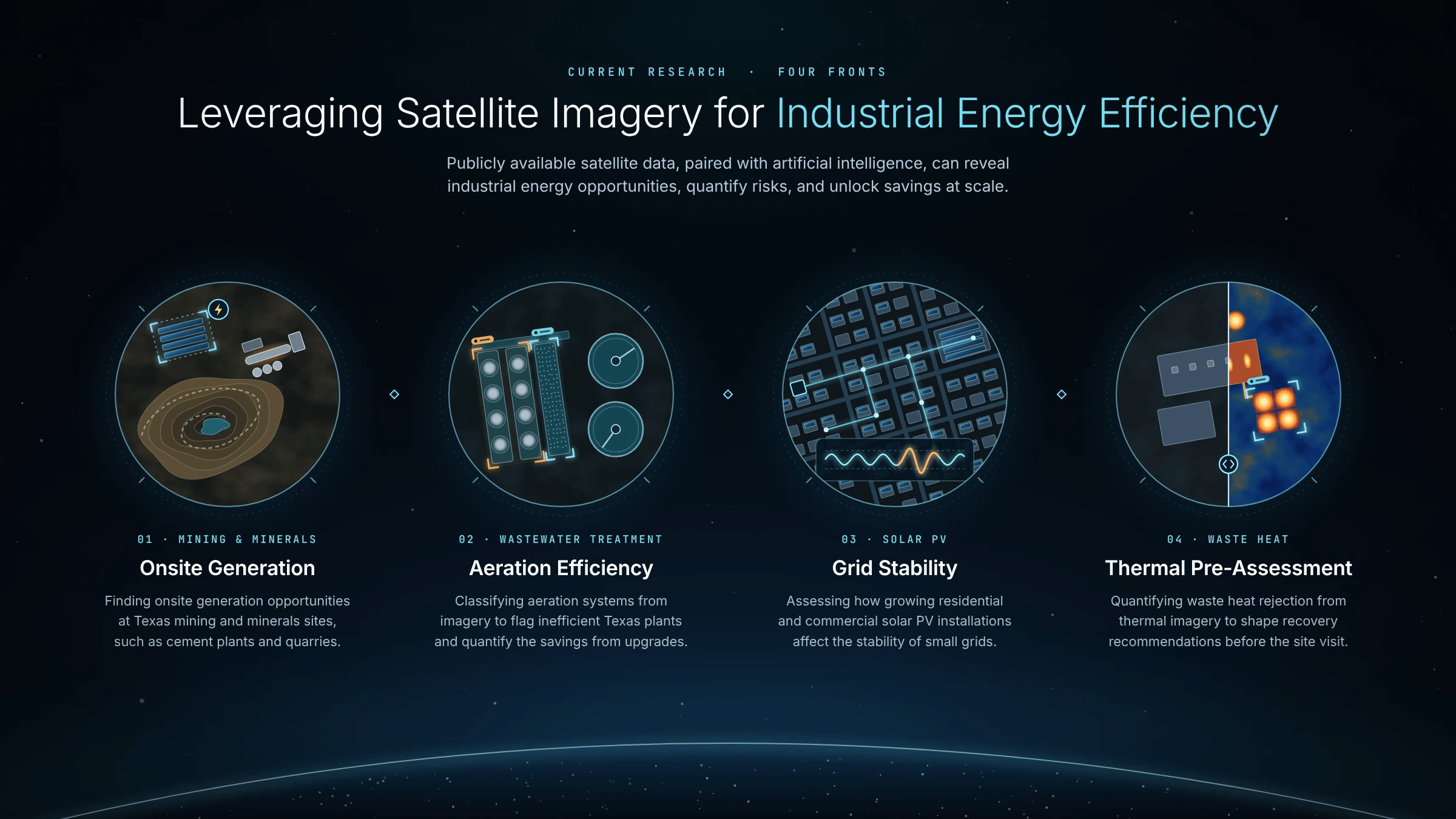
01 · Mining & Minerals
Onsite Generation
Identifying opportunities for onsite energy generation at Texas mining and minerals facilities, such as cement plants and quarries.
02 · Wastewater Treatment
Aeration Efficiency
Identifying Texas facilities that rely on inefficient practices by classifying aeration mechanisms from imagery and quantifying the energy savings available from upgrading them.
To support this work, a custom Site Imagery Review tool lets the team step through each wastewater site, view aerial imagery centered on its location, and save or skip each site with notes for classification.

03 · Solar PV
Grid Stability
Assessing how growing residential and commercial solar PV installations affect the stability of small grids.
04 · Waste Heat
Thermal Pre-Assessment
Using thermal imagery to quantify waste heat rejection, so heat recovery and containment recommendations can be developed before an auditor ever steps foot in the plant.
📡 Research in Progress
Results and publications from each of the four fronts will be posted here as the work develops.